
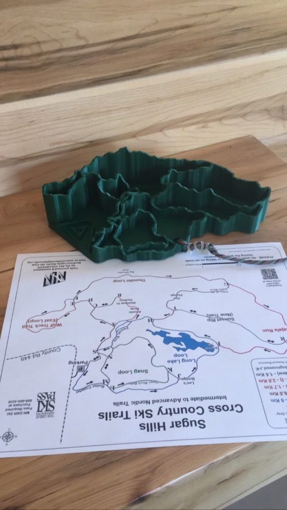
I am fascinated with topography and cartography. I waste too much time perusing google maps looking for interesting things in places I am intimately familiar with or have never been. The lay of the land and how that influences human ideals and settlements. Besides the particle benefits, humans are drawn to mountains and water. I have 3D printed a topographic map of Boulder and the surrounding mountains and pour over its detail of where I have been and how the land formed that way. I have made 3D maps of cross-country ski trails for a different perspective.
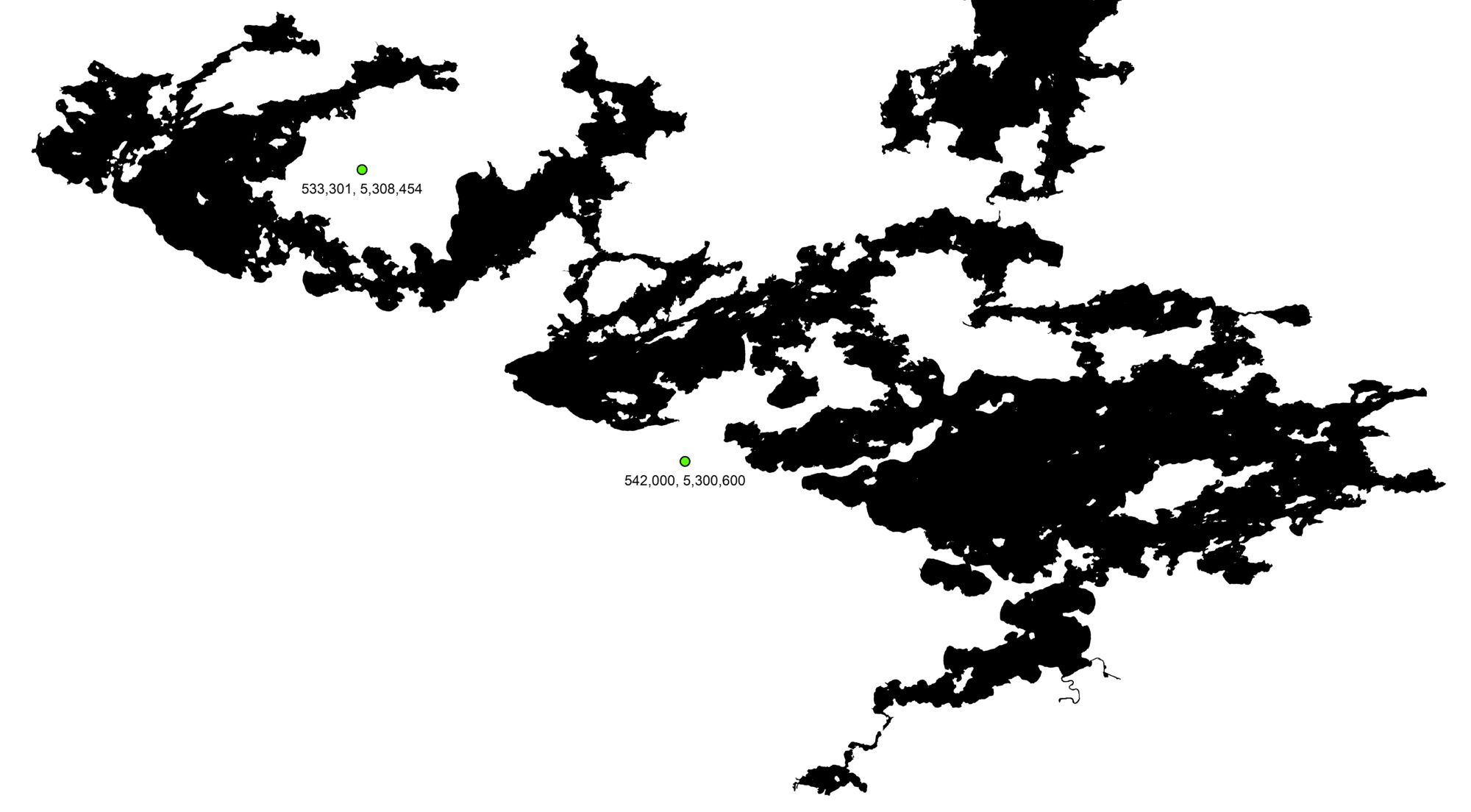
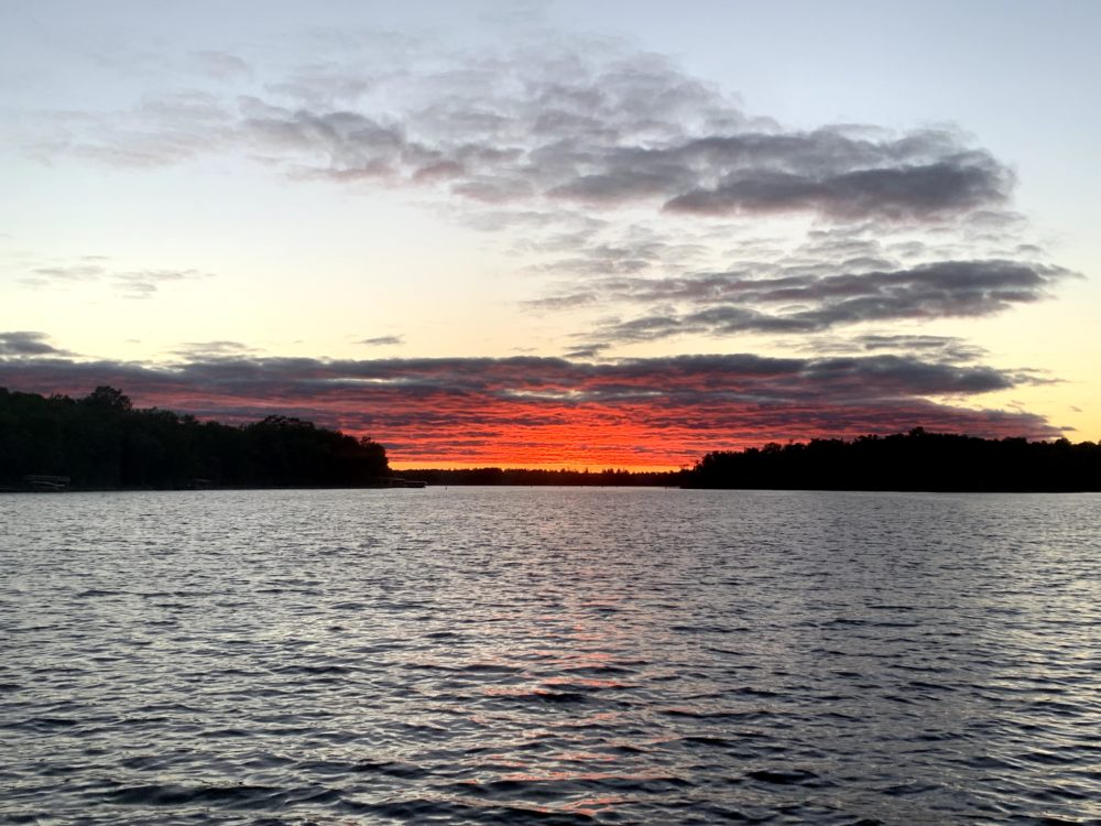
For my final project, I want to do something similar for another place I also call home. Growing up in Minnesota, it is common to have a cabin on a lake. (It is the Land of 10,000 Lakes after all). My family’s cabin rests on Lake Vermilion. 3D topographic maps are easy to generate with online .stl files, but bathymetric maps are not as readily exported.
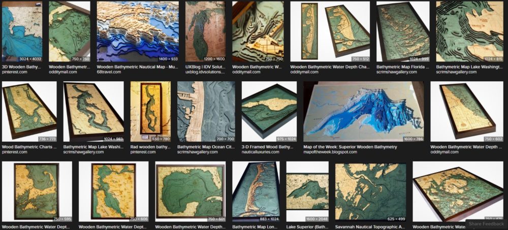 Creating my project, I’ll follow the wooded bathymetric map aesthetic. It’s pretty specific and niche, but exists.
Wood workers will create custom 3D, laser cut, bathymetric maps of lakes for hundreds of dollars. Being an engineer with all of CU’s recourses at my disposal, I want to do it myself. My plan is to laser cut layers of the lake and stack them together to make a large map. My current plan is 31 layers of MDF board. Somehow, I will incorporate the dynamic requirement, but I’ll cross that bridge when I get there.
2 Comments. Leave new
Hi Alex, this is an interesting project idea. In the above pictures the maps are colored and engraved with labels and markers. Do you plan on doing the same? They also appear to be at different scales, do you think you will prefer a more realistic scale or an exaggerated scale to better show the depth of the lake? This project seems like a great use of the resources CU has available and will make a great show piece to keep.
This seems like a really intricate, and cool project, lakes have always been a favorite of mine as well. I like the relation it has to where you grew up and the fact that it means something significant to you as well. It’s pretty cool you can just find maps of the lakes online, how well do they translate into this project? Is there any changes you’ll have to do or can use just laser cut the wood layers out of the depth and shape data provided?